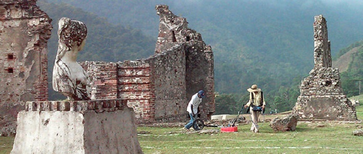
Geophysical surveying methods are essential for archaeologists who need to locate the best excavation areas on a site and ensure there aren’t any underground utilities in the way. From all the different geophysical surveying methods available, ground-penetrating radars stand out the most, as they’re the ones providing true depth information. Before modern geophysical methods arrived on the scene, archaeologists used excavation and shovel test grids to narrow down the areas in which to dig.
This is a time-tested method that involves laying out an excavating and grid unit, generally half a metre by half a metre. Then, archaeologists would sift through the material in order to determine whether there are present artefacts and if there are, from which layers. Then, they move on to the following unit, which can be 10-20 metres away. However, this method has one major flaw – if 20% of all shovel tests contain artefacts using the 10-metre spacing, then there’s a likelihood that researches can jump right over discrete features. It takes a lot of time and effort to perform excavate shovel tests on the scale necessary to narrow down artefact location accurately. It’s a time and labour intensive process that doesn’t guarantee you’ll find what you’re looking for.
On the other hand, using modern geophysical surveying methods, such as GPR, electrical resistivity imaging, magnetometry and electromagnetic induction can provide you with more consistent and accurate results in a shorter amount of time. Here’s how each of these methods work.
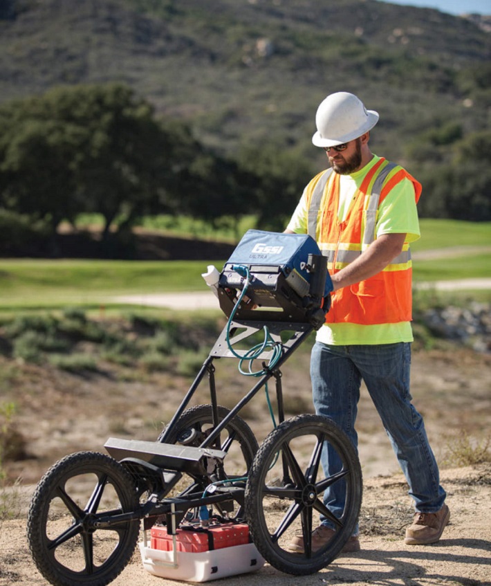
Ground Penetrating Radars
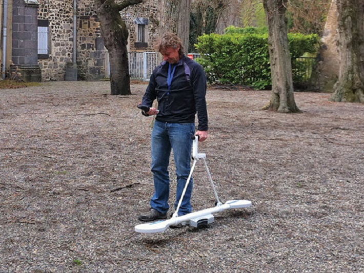
This method works by transmitting tiny pulses of energy into the material through an antenna. A built-in computer records the time and strength needed for the return of the reflected signals. Underground variations create reflections that are picked back up by the system and are stored on digital media. The GPR surveying method is considered the most accurate of all other methods, and it’s the highest-resolution geophysical technology. It performs best in dry, sandy soils that feature low salt content, but it doesn’t perform as well on coasts with high salt content, such as salt marshes. Additionally, dense clay-based soils are also difficult to penetrate, and it can’t identify bones or see-through metal.
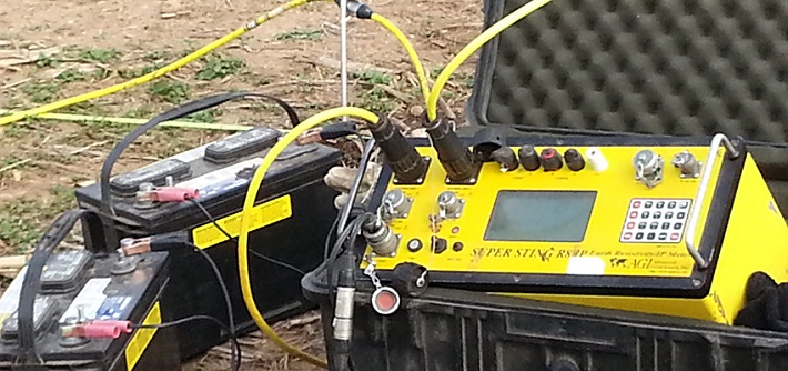
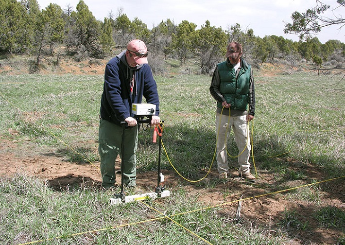
Electrical Resistivity Imaging
This method is used for mapping the depth of rock and soils. It involves putting stakes in the ground and measuring the ground’s electrical resistance. Operators need to set up a row of about 24-48 metal stakes along the ground in a straight line, and information will only be collected along the line. This method works well in clay soil, but it costs more and takes longer to get the needed data coverage when compared to the GPR method. You can collect over 80 profiles of similar length using ground-penetrating radar in the same amount of time it would take to collect 5 profiles using ERI.
Magnetometers
This method uses passive sensors to measure the direction and strength of a magnetic field. By detecting abnormalities in the earth’s magnetic field, magnetometers can pinpoint the location of objects made of ferrous materials. Archaeologists use magnetometers to measure human activity which increases magnetism. For instance, old fire pits provide higher magnetic readings, and so do storage pits, old trenches and even bricks. This method does a great job of finding ferrous objects, but it doesn’t provide accurate depth information as ground-penetrating radars do.
Electromagnetic Induction
This method involves measuring the change in mutual impendence between two coils above or on the earth’s surface. Most electromagnetic induction devices consist of two or more sets of coils that are separated by a fixed distance and are electrically connected. These instruments can locate objects beneath the ground and examine soil conditions, but they won’t provide good depth information.
Worth noting is that all of these surveying methods are complementary, as each of them is better at taking different types of measurements and detection of different types of objects. For instance, magnetometers are oftentimes paired with electrical resistivity surveys. Also worth noting is that the ground-penetrating radar method is the only one that can provide true depth information which can be calibrated. Unlike other geophysical methods, ground-penetrating radar surveys also indicate where an archaeological feature or anomaly is in high resolution, thus enabling archaeologists to tell how deep it is below the ground, which is a huge advantage.
When using ground-penetrating radar for surveying, you need to first get as much information about the site as possible. Operators should find out any historical maps and ensure they have access to the results of walkover surveys which show the concentrations of artefact density and archaeological features. Further, the operators need to have an idea of what researchers expect from the results so that they can get an idea of what they need to be looking for. As part of the information gather process, researchers need to pay close attention to the landscape and what it looks like. Is it densely vegetated or clear of vegetation? Or is it at a mountainside and difficult to access? This is due to the fact that the ground-penetrating radar equipment needs to be pushed in a straight line with the antenna sitting on the ground. So if the excavation site is heavily vegetated, it will need to be cleared before the survey is conducted.